December 09, 2024By: MH TECHView: 131
Surveying and mapping and geographic information industry
Topographic survey: It can quickly obtain elevation data and distance information of large-area terrain, produce high-precision topographic maps, contour maps, etc., and provide basic data support for urban planning, road construction, water conservancy projects, etc.
Engineering survey: In the construction of roads, bridges, tunnels and other projects, line alignment measurement, longitudinal and cross-sectional measurement, and deformation monitoring are carried out to ensure the smooth progress and quality safety of the project.
Geographic Information System (GIS) data acquisition: As one of the important tools for GIS data acquisition, it can obtain the spatial location and geometric information of geographic entities, enrich the content of the GIS database, and provide a more accurate data basis for the analysis and application of geographic information.
Military and defense field
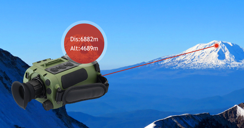
Target ranging and positioning: It is one of the commonly used equipment in military operations. It can be used to measure the distance, direction and height of the target, provide accurate data support for the aiming and shooting of the weapon system, and improve combat effectiveness.
Battlefield reconnaissance and surveillance: With its long-range ranging and high-precision characteristics, it can conduct reconnaissance and surveillance of the battlefield environment, obtain information such as enemy positions and force deployment, and provide decision-making basis for combat command.
Military training: In military training, it is used to simulate target ranging and shooting training in actual combat environments to improve soldiers' combat skills and reaction capabilities.
Sports and entertainment industry
Golf course measurement: In golf, it is used to measure the distance between the hole and the golfer, as well as the terrain undulations of the golf course, to help golfers choose appropriate clubs and shot strategies.
Outdoor sports and adventure: In activities such as mountaineering and hiking, laser rangefinders can help outdoor enthusiasts measure distance, height difference and other data, understand the surrounding environment and terrain conditions, and improve the safety and fun of outdoor sports.
Intelligent security field
Perimeter prevention and monitoring: Through the laser rangefinder installed in the boundary area such as walls and fences, it is monitored in real time whether there are objects invading the set warning area. Once an abnormal situation occurs, an alarm signal is immediately issued to achieve security protection for important places and facilities.
Personnel and object tracking: In some places where people or objects need to be tracked in real time, such as airports, stations, shopping malls, etc., laser rangefinders can be combined with video surveillance systems to achieve accurate tracking and positioning of targets, improving the effectiveness and efficiency of security monitoring.
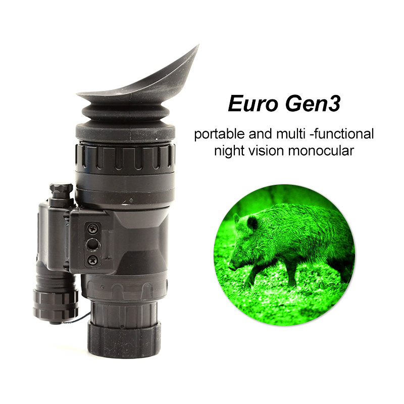
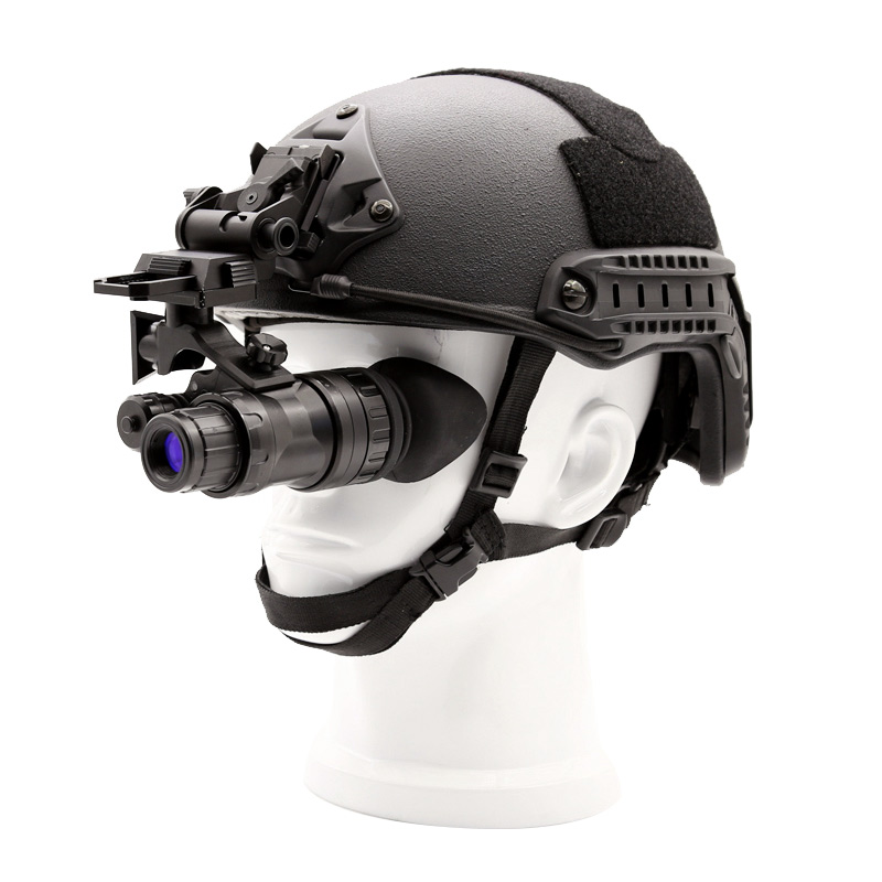
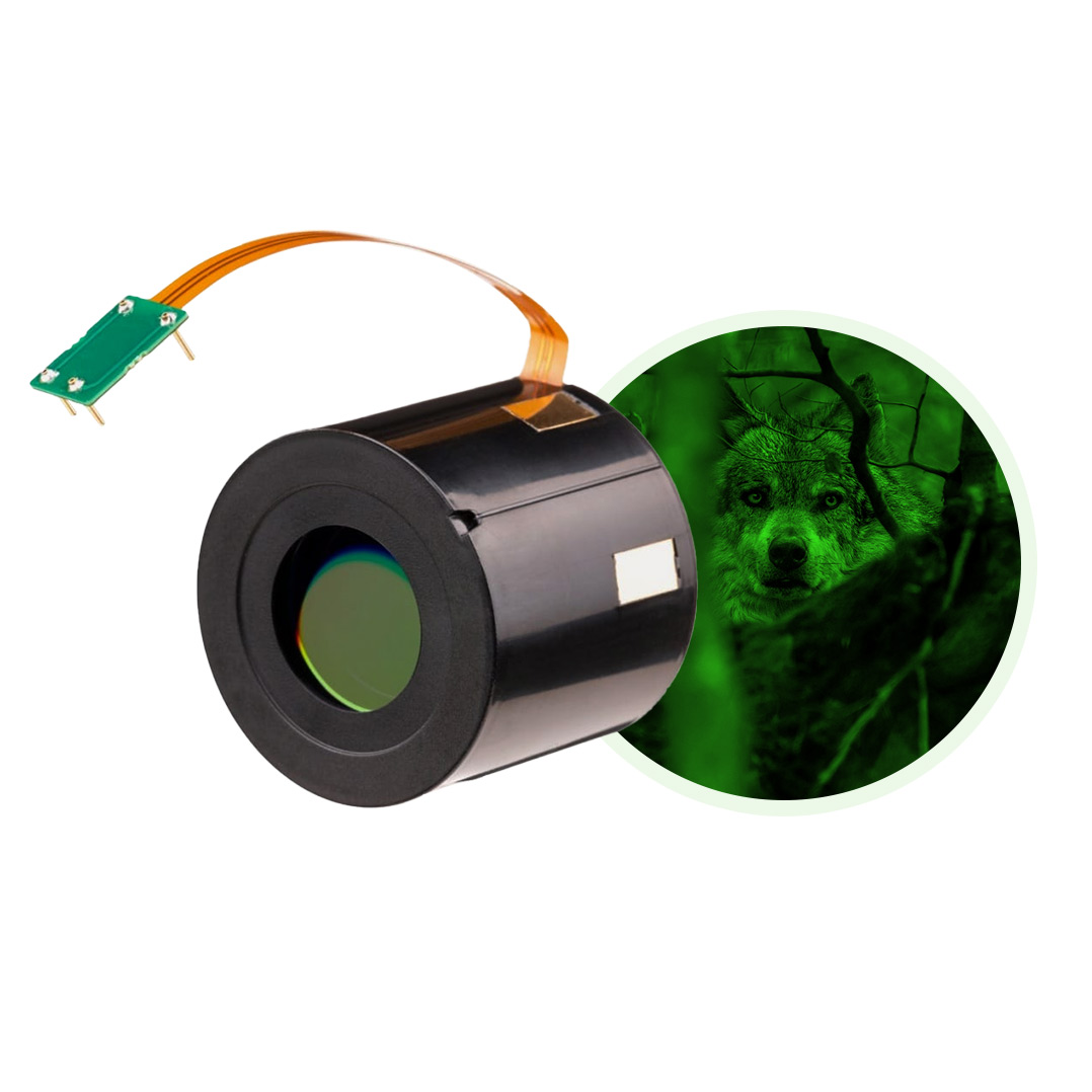
Wide range of professional-grade night vision,thermal devices and Vehicle night vision equipment including night vision goggles,night vision monoculars,aviation night vision and accessories and more.

How long is the service life of the third-generation night vision device?
Read More
Is there a big price difference between the second-generation and third-generation night vision devices?
Read More

The difference between the second-generation night vision device and the third-generation night vision device
Read More

What new technologies can improve the imaging quality of night vision goggles?
Read More
Development trend of night vision goggles
Read More
Is the resolution of an image intensifier related to gain?
Read More